A two-day journey around the island of Anglesey, where ancient sanctuaries, steep cliff paths, copper mines, and seaside history meet the Atlantic elements.
Arrival in Cemaes Bay
We arrived on Anglesey in the late afternoon after driving over from our base in Shropshire. Leaving accommodation bookings to short notice is always a bit of a gamble as I was watching the weather forecast and fitting this in between meetings with friends in the area. Hence, we ended up with the absolute last available room at the Gwesty Gadlys hotel in Cemaes Bay. The room itself was rather compact and faced the rear of the property, but it was clean and perfectly functional for a short stay. Any initial compromise on the room disappeared the moment we stepped out to the front of the building, which offered a magnificent, sweeping view down over Cemaes Bay.
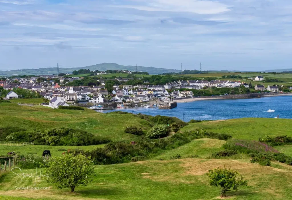
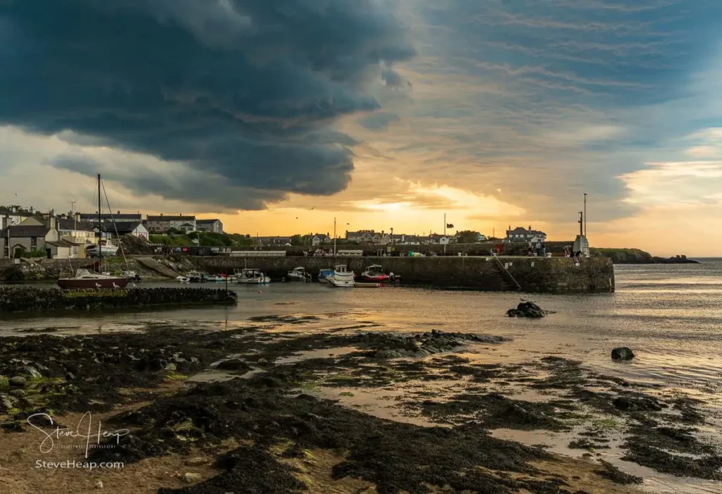
After dropping our bags, we took an evening stroll down into Cemaes village. It is a peaceful spot with white-painted cottages clustering near the harbor. As we walked, massive, bruised storm clouds began rolling in from the sea. The setting sun cut through a sliver of the horizon, painting the harbor water in orange light just before the heavens opened up and torrential rain sent us heading back for shelter.
Eglwys Llanbadrig and Coastal Headlands
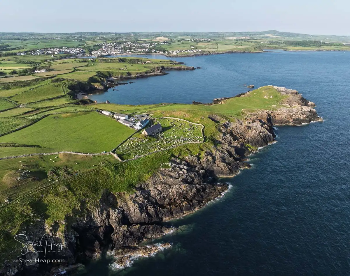
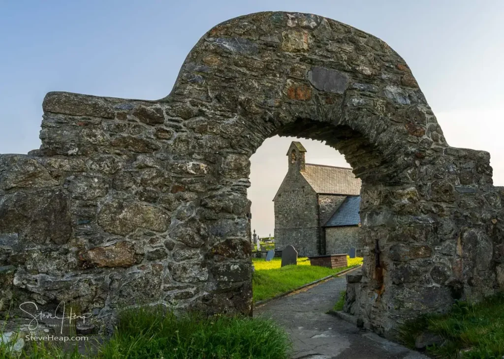
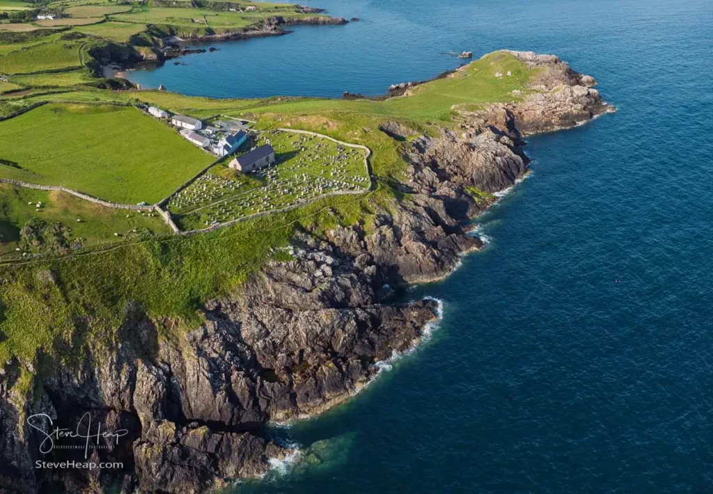
Following a hearty Welsh breakfast the next morning, I set off on an early coastal walk past Eglwys Llanbadrig. Perched dramatically on the cliff edge, local tradition holds that Saint Patrick founded a sanctuary here in 440 AD after surviving a shipwreck on Middle Mouse island just offshore. Passing through an ancient stone archway in the churchyard wall frames a wonderful view of the stone building standing firm against centuries of Atlantic weather.
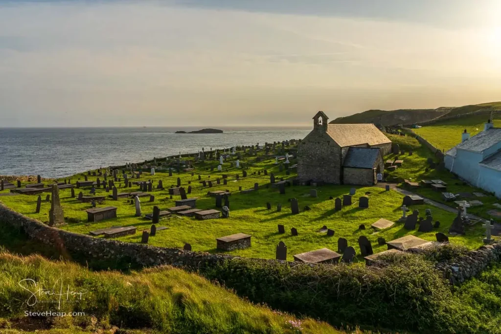
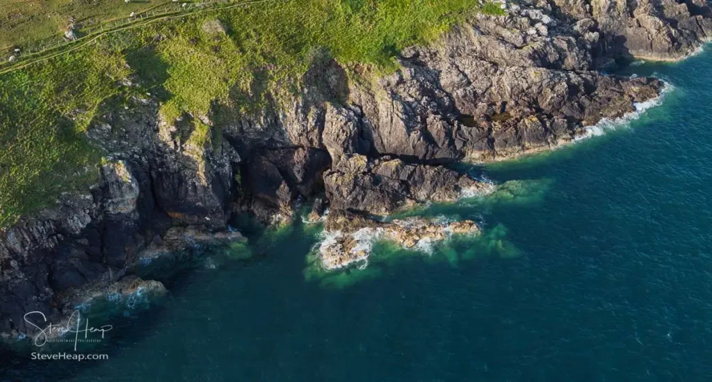
It was a fair bit of exercise in a short period of time, but the coastal views were exceptional. On returning toward Cemaes, I launched my drone to capture a higher perspective of the coastline. From above, the contrast between the lush green headland fields and the jagged, dark rock faces dropping into turquoise water is striking.
South Stack Lighthouse
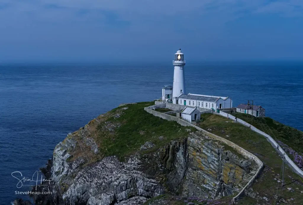
Our next stop was South Stack Lighthouse on Holy Island. We made a point of arriving right at 10:00 AM for the opening—a necessary piece of timing, as the footbridge connecting the mainland path to the island remains locked outside operating hours. Built in 1809 to guide ships navigating the treacherous currents of the Irish Sea, the lighthouse sits on an isolated rocky outcrop at the base of sheer cliffs.
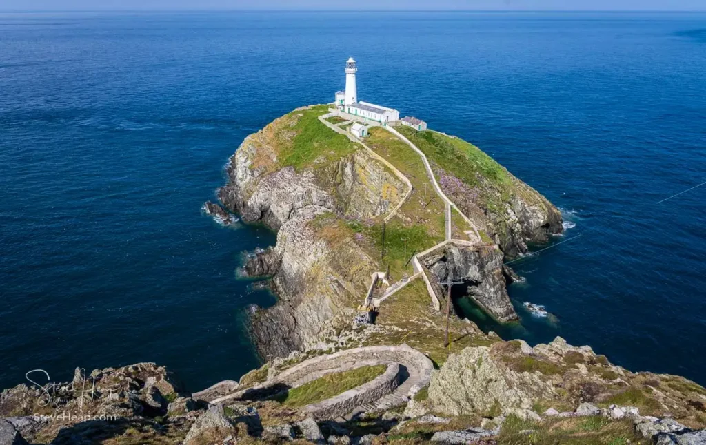
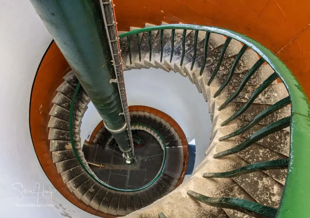
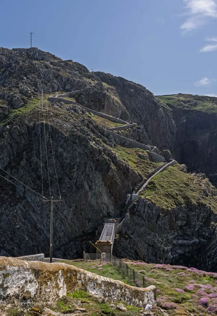
The path down is steep, winding through a series of zigzagging stone steps built into the cliffside. Thousands of nesting guillemots and razorbills packed the surrounding ledges, filling the air with a constant chorus of bird calls as we crossed the bridge. Inside, a clean spiral staircase winds up the core of the tower to the light room, where volunteers explain how the compact modern lens generates its powerful beam.
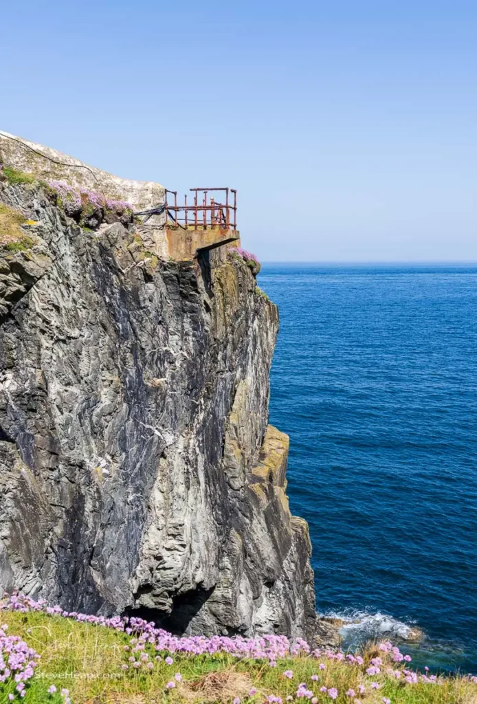
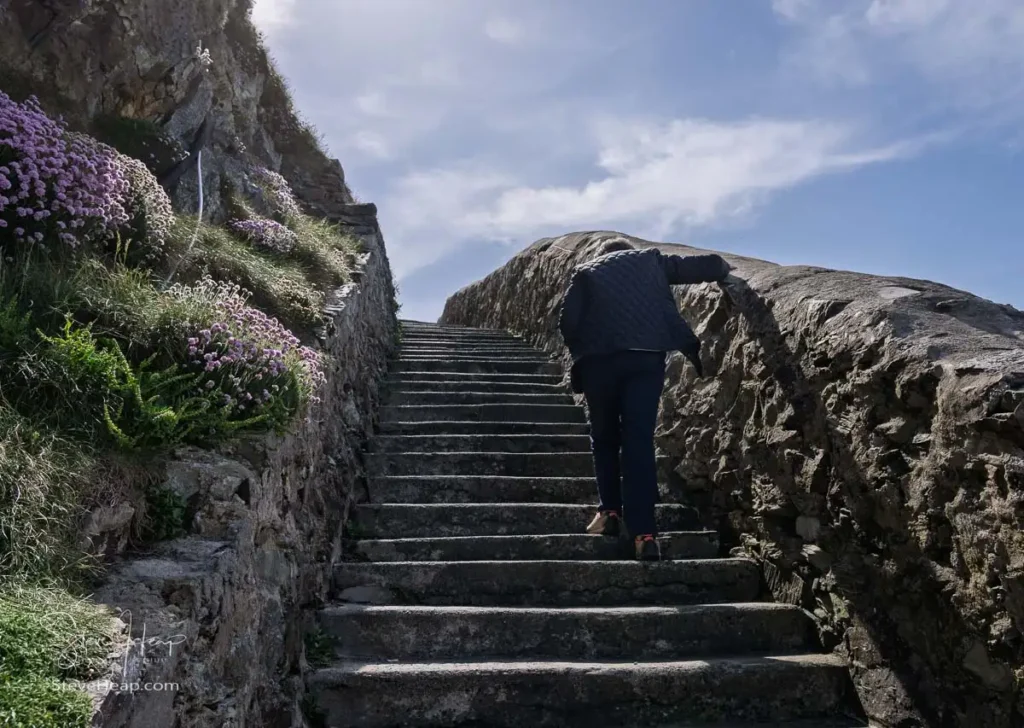
Climbing back up the 400-odd steps to the top of the cliff certainly tests the legs. And looking towards the ascent gives you a full sense of how precariously the path clings to the rock face. This sets of steps is relatively new (at least compared to the history of the lighthouse. In the early days, they used to just tether a rowing boat to the side of the rock and haul up supplies via a winch.
I decided to give this image of the lighthouse a treatment that perhaps shows how the softening twilight would give the lighthouse a quiet, timeless quality against the darkened sea.
Eglwys Cwyfan: The Church in the Sea
Surprisingly, it was still pretty early and so we headed further south down the coast as we sought out Eglwys Cwyfan, famously known as the “Church in the Sea.” A word of advice for anyone navigating this route: Google Maps persistently tries to route traffic down closed private farm tracks. The proper approach is driving through Aberffraw village and following the coastal road lane from there.
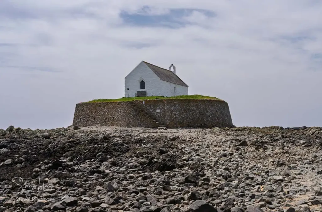
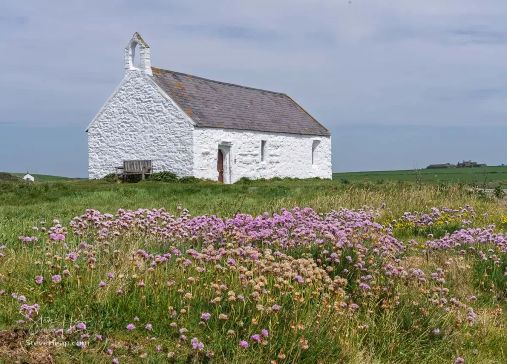
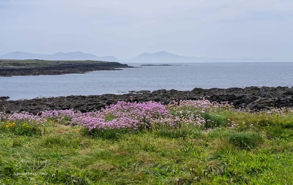
Dedicated to St. Cwyfan in the 7th century, the church originally stood on a peninsula until coastal erosion isolated it into a tidal island. In the late 19th century, a thick stone sea wall was constructed to save the mound from washing away. While the building itself was locked, spending an hour walking the surrounding shore among blooming pink sea thrift wildflowers—with views reaching across the water to the misty mountains of North Wales—was a highlight of the afternoon.
Dunes, Cypress Trees, and Plas Newydd
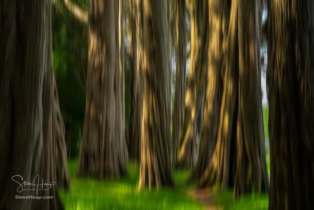
By mid-afternoon, it was time for a late lunch at the Oyster Catcher near Rhosneigr. As we ate, sea fog rolled heavily over the surrounding sand dunes, putting an end to our plans for a second afternoon walk. Instead, we drove inland to Plas Newydd, the historic country house sitting on the shores of the Menai Strait. The approach drive takes you through remarkable stands of ancient Monterey cypress trees, their heavily textured trunks creating natural woodland avenues.
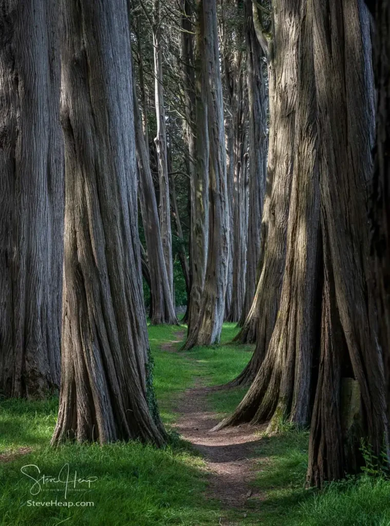
While I was there, I did play around with a camera technique called Intentional Camera Movement (ICM). I do sometimes get blurry shots with accidental camera movement, but the idea here is to choose a low shutter speed – 1/10th second say and move the camera deliberately as the shutter opens. This is the result of one of those exposures. What do you think?
Parys Mountain: The Copper Kingdom
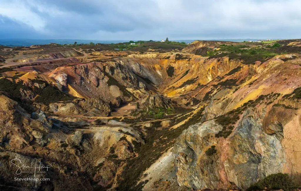
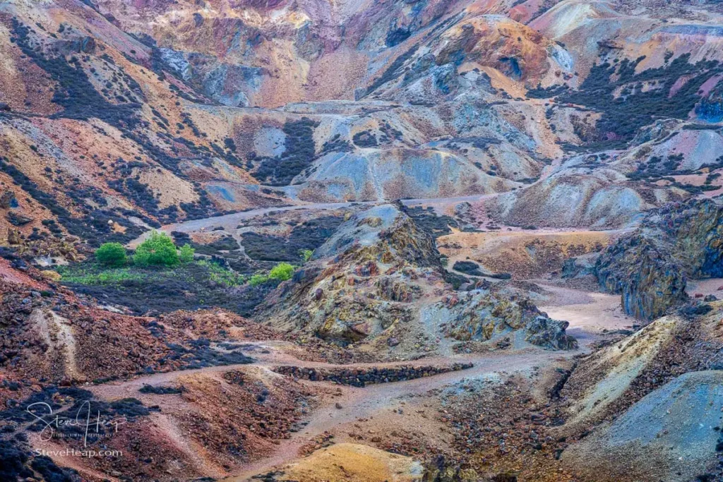
The following morning brought windy, overcast weather, making it an ideal time to visit Mynydd Parys (Parys Mountain). In the late 18th century, this was the largest copper mine in the world, supplying metal for the British Navy and coining its own local currency. Centuries of open-cast mining have left behind an extraordinary, surreal landscape where oxidation has stained the excavated pits in vivid shades of ochre, yellow, red, and purple.
Trwyn Du, Penmon Priory, and Beaumaris
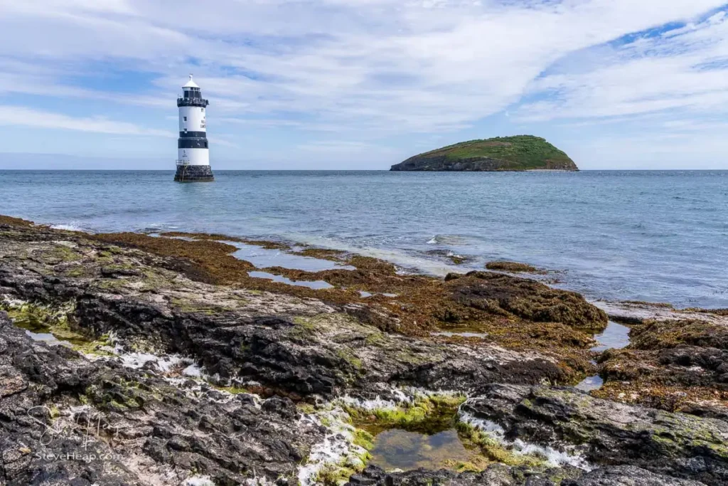
After another solid breakfast on our final morning on the island, we drove out to Penmon Point on the eastern tip of Anglesey to see Trwyn Du Lighthouse, with its distinctive black-and-white striped banding and offshore bell.
Nearby stands Penmon Priory, featuring a 13th-century church, an ancient stone dovecote, and Saint Seiriol’s Well, believed to be one of the oldest Christian sites in Wales.
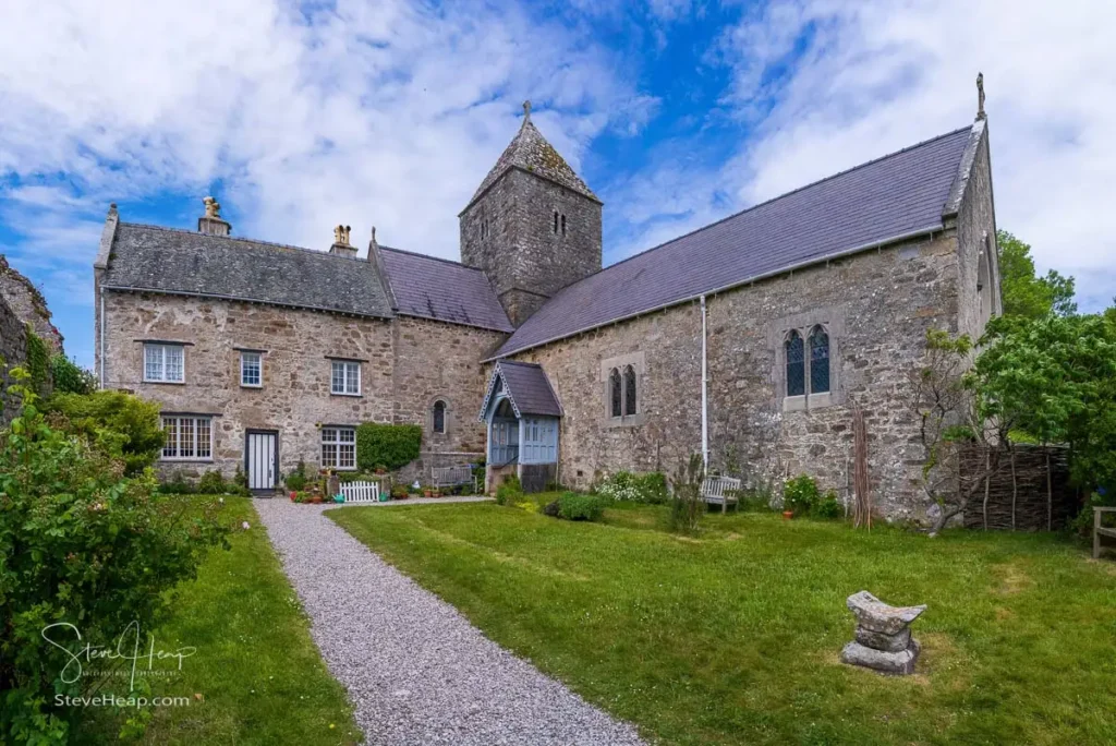
Moving on to Beaumaris, the wind was still howling off the Menai Strait as we stopped at the Pier House Café for lunch.
Before leaving town, we visited Beaumaris Castle, the famously unfinished fortress built by Edward I in 1295.
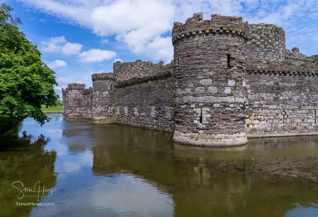
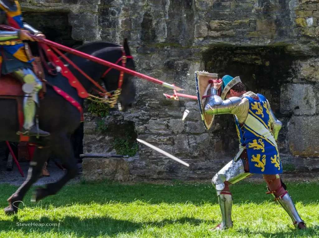
Its concentric “walls-within-walls” layout and water-filled moat remain a masterpiece of medieval military engineering. While walking the grounds, we were treated to a live jousting demonstration inside the outer walls, complete with lances and armored knights.
Sitting in the ice cream shop afterward, we chatted with a tour leader guiding passengers on an excursion from a Viking ocean cruise docked at Holyhead. It was interesting to learn how popular Anglesey has become as a day stop on Round Britain cruise itineraries.
Bodnant Gardens: The Laburnum Arch
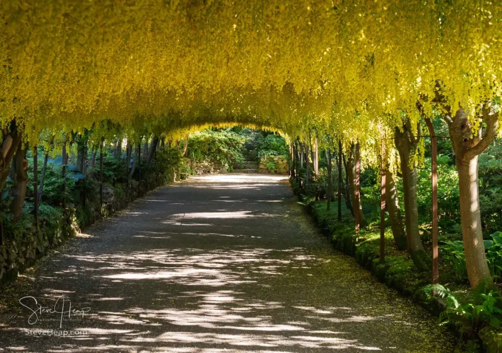
Leaving Anglesey and starting our journey back toward Shropshire, we made one final detour to Bodnant Garden near Conwy. Timing worked out perfectly, as we were able to stroll the famous Laburnum Arch in full bloom. Planted by the Pochin family in 1880, this 55-meter curved pergola creates a spectacular walkway under a dense ceiling of cascading yellow blossoms—a golden conclusion to a packed two days in North Wales.
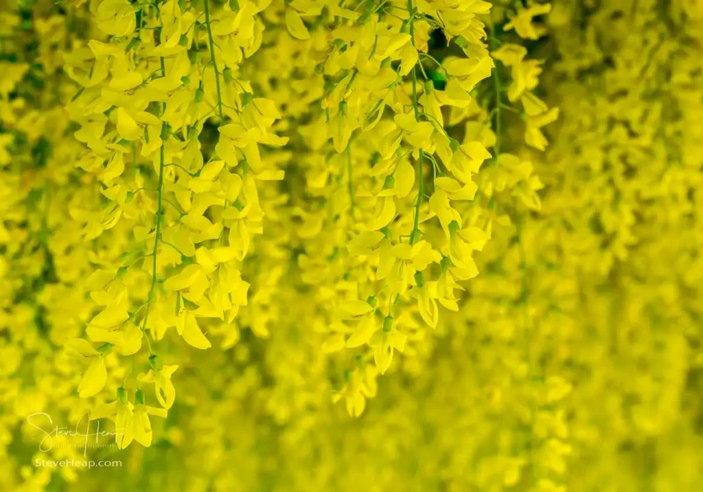
It was a lot packed into just a couple of days on the island of Anglesey. The weather may have been predictably blustery, and the logistics occasionally frustrating, but all things considered, it was an immensely rewarding journey.